Description
Flexible, modular design with advanced features
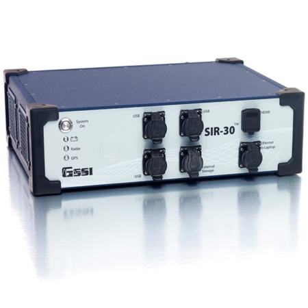
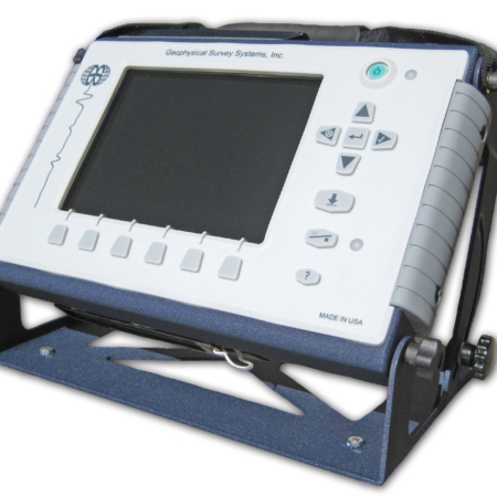
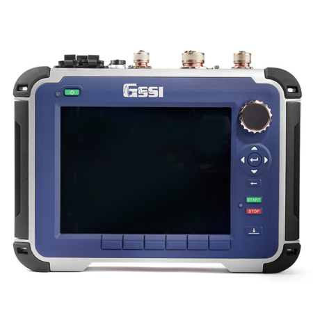
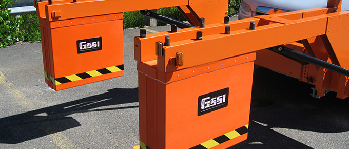
The SIR 30 is a customisation control unit that offers advanced filters and display capabilities for real-time processing including migration, surface positioning, signal floor tracking and adaptive background removal. The SIR® 30 is the next-generation high-performance multi-channel radar control unit. This system can collect up to eight channels of data simultaneously with uncompromising performance, making it ideal for transportation infrastructure, large-scale utility, geology, and mining applications.
Deliver Results
The SIR 30 was designed for high-speed GPR data collection- capable of more than 5,792 scans per second across four channels.
| Number of Channels | 2, 4 or 8 |
| Antenna Capability | Compatible with GSSI analogue antennas |
| Weight | 2 Channel: 8.4 kg (18.5 lbs)
4 Channel: 9.4 kg (21 lbs)
8 Channel: 18.8 kg (41 lbs) |
| Storage Capacity | 2 Channel: 250 GB
4 Channel: 500 GB
8 Channel: 1,000 GB |
| Optional Software | RADAN 7 |
| Accessories | 8 Channel Sync Kit |
Versatile Unit
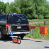
The SIR 30 has numerous mounting configurations depending on how it is needed for each job and the work environment. This system has full internal GPS capability, USB and ethernet ports for full data transfer.
Typical Uses
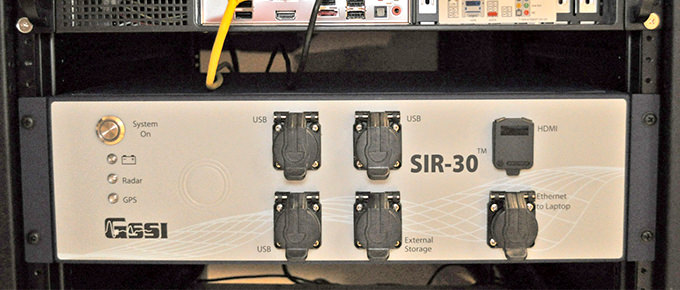
The SIR 30 is typically used for:
- Road structure assessment
- Utility designation
- Bridge deck inspection
- Rail bed inspection
Rugged Design
The SIR 30 is built with an aluminum exterior and rubber bumpers, and sized for vehicle rack mounts. For operation in harsh environments, GSSI created the SIR 30E, a modified version of our popular SIR 30. The SIR 30E can collect up to two channels of data.
Data Examples
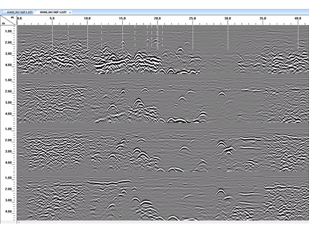
SIR 30 4 Channel Data
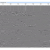
Data illustrates multiple utilities at varying depth. data was collected as a 4 channel 400 MHz antenna array system with a custom made (user provided) cart configuration.
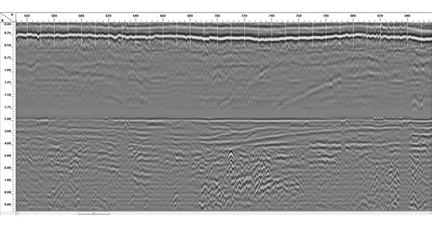
SIR 30 2 Channel Data
Using a 2 GHz horn antenna, the top channel records asphalt layer thickness. The bottom channel shows sub-base layer information, including a shallow utility, that was collected with a 400 MHz antenna
Mining: Determine Mine Safety
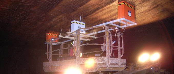
Mining professionals use ground penetrating radar to accurately locate underground structures before drilling, blasting or carrying face operations. GPR is instrumental in helping to identify overhead separations in order to prevent ceiling collapses. In deep mine applications, GPR is invaluable for identifying geologic features that may be potential areas for rock bursts, such as fractures, shear zones and faults.
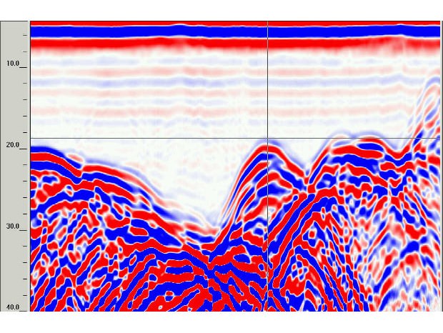
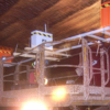
This data illustrates a GPR scan of the roof in a salt mine and shows the variable thickness of salt in a roof structure. This was collected with a SIR 30E and a 400 MHz antenna.
